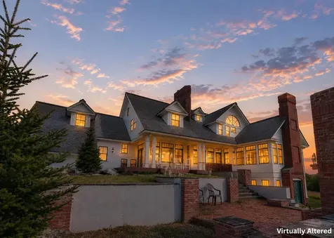
Wallingford Vermont Real Estate
Rutland County
Chartered: November 27, 1761
Area: 27,553 Acres = 43.05 Square Miles
Population (US Census, 2000): 2,274
Population Density (persons per square mile): 52.8
Schools
Rutland South Supervisory Union 802-775-3246
Wallingford Village School 802-446-2141
Wallingford Vermont is located in between Rutland Vermont and Manchester Vermont, along RT 7. It is nestled in between the Green Mountains and Taconic Mountains, and the hills and peaks of these ranges dominate the landscape. The town is separated in the three villages – Wallingford Village, South Wallingford, and East Wallingford. The White Rocks Recreation Area in town has picnic and hiking opportunities, and links up with parts of the Long Trail. Nearby Elfin Lake is a popular spot for locals, with swimming and other water recreation opportunities. Wallingford Vermont real estate puts Vermont ski resort recreation just a short drive away. Killington Resort, Pico Ski Resort, Ascutney Mountain Resort, Magic Mountain Ski Resort, Okemo Mountain Resort, Stratton Mountain Ski Resort, Bromley Mountain Ski Resort, and Suicide Six Ski Area an hour or less away.


Copyright 2026 PrimeMLS, Inc. All rights reserved. This information is deemed reliable, but not guaranteed. The data relating to real estate displayed on this display comes in part from the IDX Program of PrimeMLS. The information being provided is for consumers’ personal, non-commercial use and may not be used for any purpose other than to identify prospective properties consumers may be interested in purchasing. Data last updated July 30, 2026 7:55 AM EDT