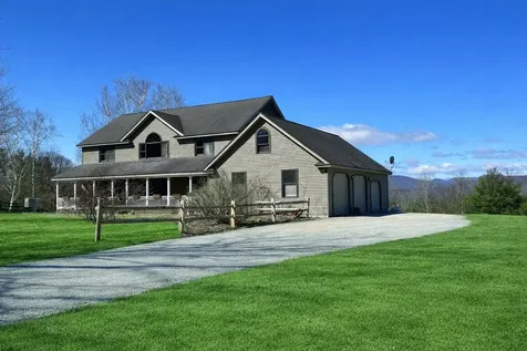
Clarendon Vermont Real Estate
Rutland County
Chartered: September 5, 1761
Area: 20,157 Acres = 31.5 Square Miles
Population (US Census, 2000): 2,811
Population Density (persons per square mile): 89.2
Schools
Rutland South Supervisory Union 802-775-3246
Clarendon Elementary School 802-775-5379
Mill River Union High School 802-775-3451
Clarendon Vermont is located just south of Rutland and along RT 7. The Mill River runs through the town, spilling through the Clarendon Gorge, and offering popular swimming holes for warm-weather fun. The Mad River and the Cold River also run through the town; the Brown Covered Bridge spans the Cold River, and is one of Vermont's famous and historic Covered Bridges. Clarendon Vermont real estate is under an hour's drive from Vermont's best skiing, including Bromley Mountain Ski Resort, Suicide Six Ski Area, Magic Mountain Ski Resort, Stratton Mountain Ski Resort, Killington Resort, Pico Ski Resort, Ascutney Mountain Resort, and Okemo Mountain Resort.


Copyright 2026 PrimeMLS, Inc. All rights reserved. This information is deemed reliable, but not guaranteed. The data relating to real estate displayed on this display comes in part from the IDX Program of PrimeMLS. The information being provided is for consumers’ personal, non-commercial use and may not be used for any purpose other than to identify prospective properties consumers may be interested in purchasing. Data last updated June 28, 2026 4:08 PM EDT